Waskaganish – mouth of the Rupert
[two_third]
One hundred kilometres of gravel road extends west from kilometre 237 of the James Bay highway, ending about a kilometre from the mouth the Rupert River, where it empties into Rupert Bay in the Cree community of Waskaganish. Much of its water load is diverted far upstream into giant reservoirs formed behind Hydro Quebec’s massive dams that outflow into the East Main and La Grande Rivers.
We arrived in Waskaganish yesterday, after a two day drive from Gatineau Quebec. Today we had a productive meeting with Waskaganish First Nation Chief Gordon Blackned, one of the Band councillors, and staff from the First Nation and the Cree Trappers Association, to discuss Important Bird Areas and explore common interests. While Boatwain Bay to the north of the mouth of Rupert Bay is the nearest IBA, there is considerable interest in assessing other areas in Rupert Bay to determine if they meet the IBA criteria. Travelling with me are Aurelie Bourbeau-Lemieux, biologist with the Cree Regional Authority, and Sophie Gallais of Nature Quebec. Through the support of Ivey Foundation, and the in-kind support of the Cree Regional Authority, we are in the early stages of promoting the IBA program in Cree communities along James Bay in Quebec. We hope to use IBAs to raise awareness about birds, and develop collaborative projects similar to those that we are undertaking in collaboration with the Moose Cree in Moose Factory and Moosonee. Weather permitting, we will venture out onto Rupert Bay tomorrow, to visit a potential IBA site. More to come![/two_third] [one_third_last]

Sophie Gallais, Jean Baptiste Loon and Aurelie Boubeau-Lemieux
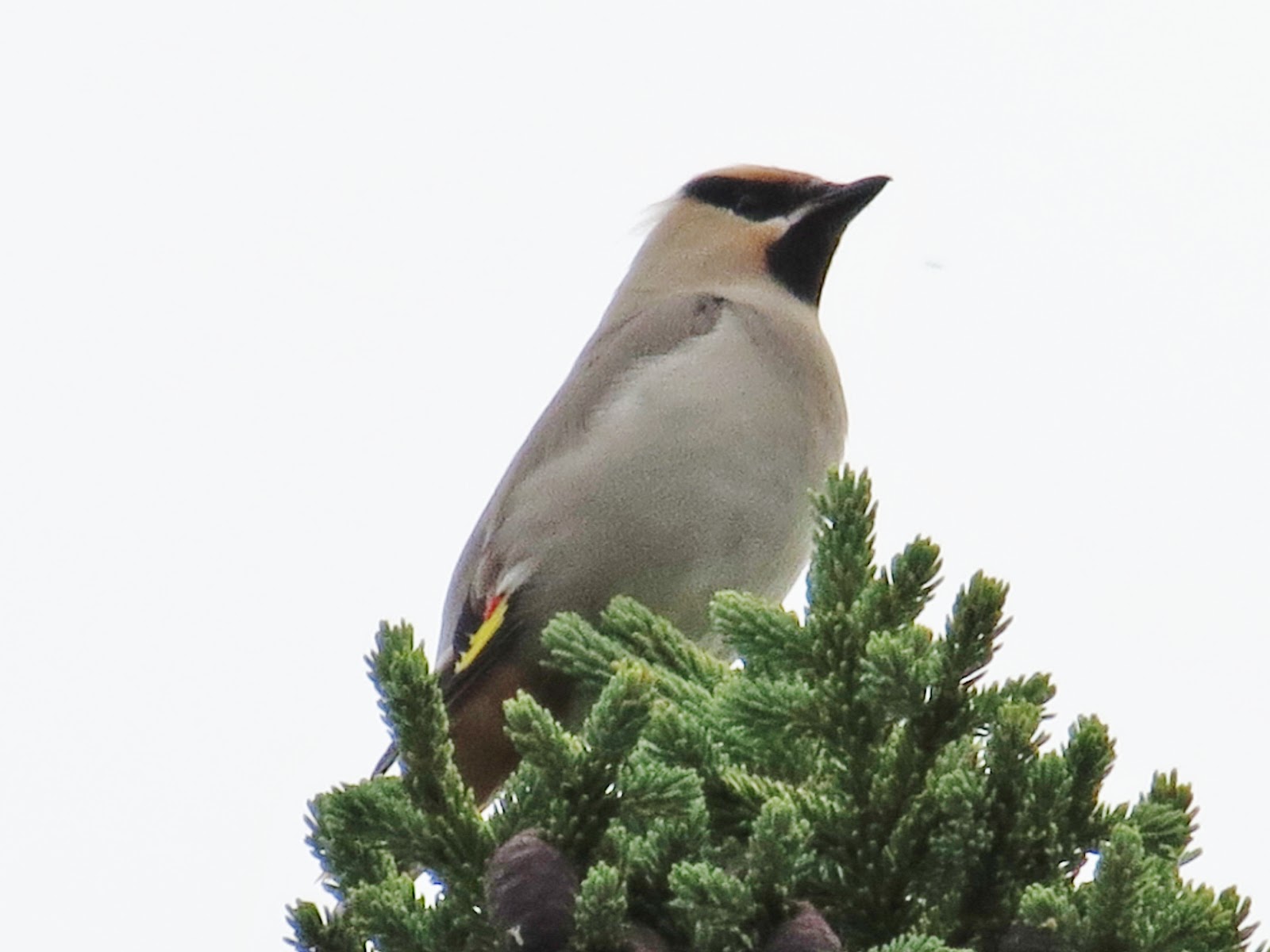
Bohemian Waxwing near kilometre 200, James Bay highway
photo Ted Cheskey
[/one_third_last]